July 5 - Inspiration Day
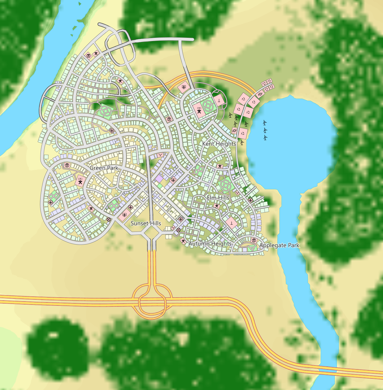
Today, I’ve taken some time off to relax with Cities: Skylines, which has been idle for a bit but has offered up some fun puzzle-style gameplay. Here’s a screenshot of the city from a community-supported addon that turns your in-game city into a realistic overhead “map”.
- Make an organic, “semi-planned” city layout;
- From experience: using a layout that distinctly separates the different sectors of the city (commercial, industrial, residential)
- Creating a scenic “university” district (large pink square with decorative streets layout in top-right)
- Creating walkable park paths and “parkland” separate from the built-in park assets that offer in-game benefits
- From experience: planning for and respecting traffic volumes and pre-planning for necessary throughput requirements (large arterial roads that terminate in empty space)
The next plots of land will be to the north and north-west for the valuable bay-side landscapes (beaches and waterfront along the river to the west).
The aquifer-fed basin/geyser fed lake provides the freshwater source for the city; it also has a great airflow for lake-bound wind turbines for clean power for the city (pink squares in the circular lake).